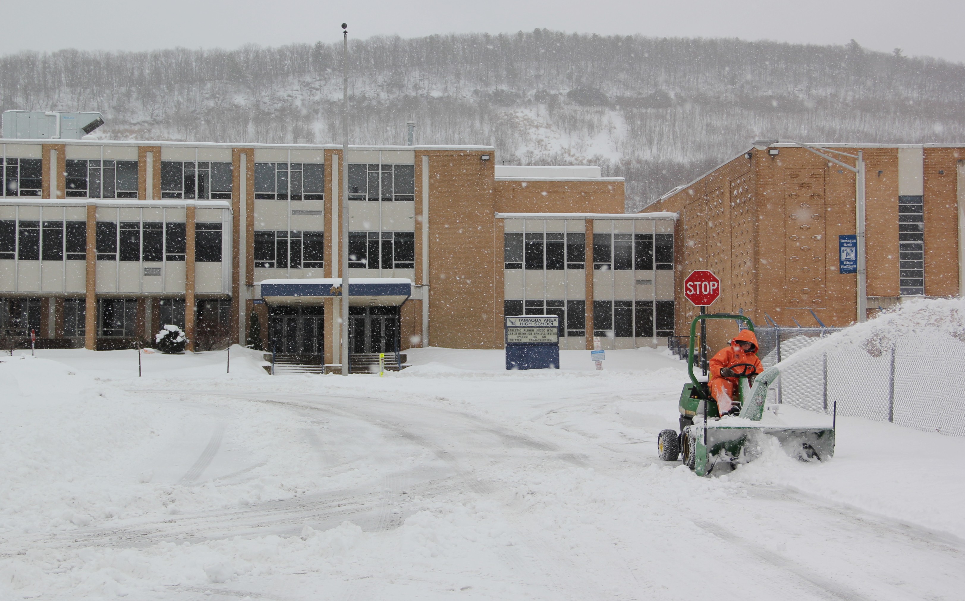
How much snow is expected to fall in the Tamaqua area in today (Monday, January 26, 2015) and tomorrow? That is a good question, since online and news predictions vary from 3 inches to 12 inches.
Expect light snow and flurries to continue falling until around 7 AM, followed by intermittent snow showers the rest of the day into Tuesday morning.
According to Weather.com, which has been accurate most of the time, our area is expected to get between 4 to 6 inches throughout the day today, and an additional 1 to 2 inches Tuesday morning (ending at 8 AM). Total accumulation expected will be around 6 inches.
Temperatures will range between 21 and 26 degrees Fahrenheit today, and 13 to 25 degrees on Tuesday.
As of 1:00 AM, many local schools are already closed. (link)
Click HERE to view an interactive radar map via Weather.com.
The National Weather Service is State College issued a Winter Weather Advisory for south central Pennsylvania:
It reads:
- … WINTER WEATHER ADVISORY REMAINS IN EFFECT UNTIL 7 PM EST MONDAY…
- * LOCATIONS… SOUTH CENTRAL PENNSYLVANIA.
- * HAZARD TYPES… SNOW.
- * ACCUMULATIONS… 3 TO 5 INCHES.
- * TIMING… SNOW WILL BEGIN VERY SOON AND LAST THROUGH ALL OF MONDAY.
- * IMPACTS… HAZARDOUS TRAVEL DUE TO SNOW COVERED ROADS.
- PRECAUTIONARY/PREPAREDNESS ACTIONS…
- HAZARDOUS WINTER WEATHER CONDITIONS ARE EXPECTED OR OCCURRING. USE CAUTION IF TRAVELING. FOR THE LATEST WEATHER INFORMATION…
More Information
- … MORE SNOW ON THE WAY FOR CENTRAL PENNSYLVANIA…
- .A STORM SYSTEM WILL TRACK SOUTH OF PENNSYLVANIA TONIGHT AND MONDAY… BRINGING SEVERAL INCHES OF SNOW TO THE AREA. AN EXPLOSIVE SECONDARY COASTAL STORM WILL DEVELOP LATER MONDAY… AND COULD BRUSH EXTREME EASTERN PORTIONS OF THE LOWER SUSQUEHANNA RIVER VALLEY WITH ADDITIONAL MODERATE TO HEAVY SNOWFALL MONDAY NIGHT AND TUESDAY.
